Town history
Cape Coral history
From Calusa shoreline and cattle land to the "Waterfront Wonderland" with 400+ miles of canals.
Cape Coral map — places & eventsFull Cape Coral guideTrip planner
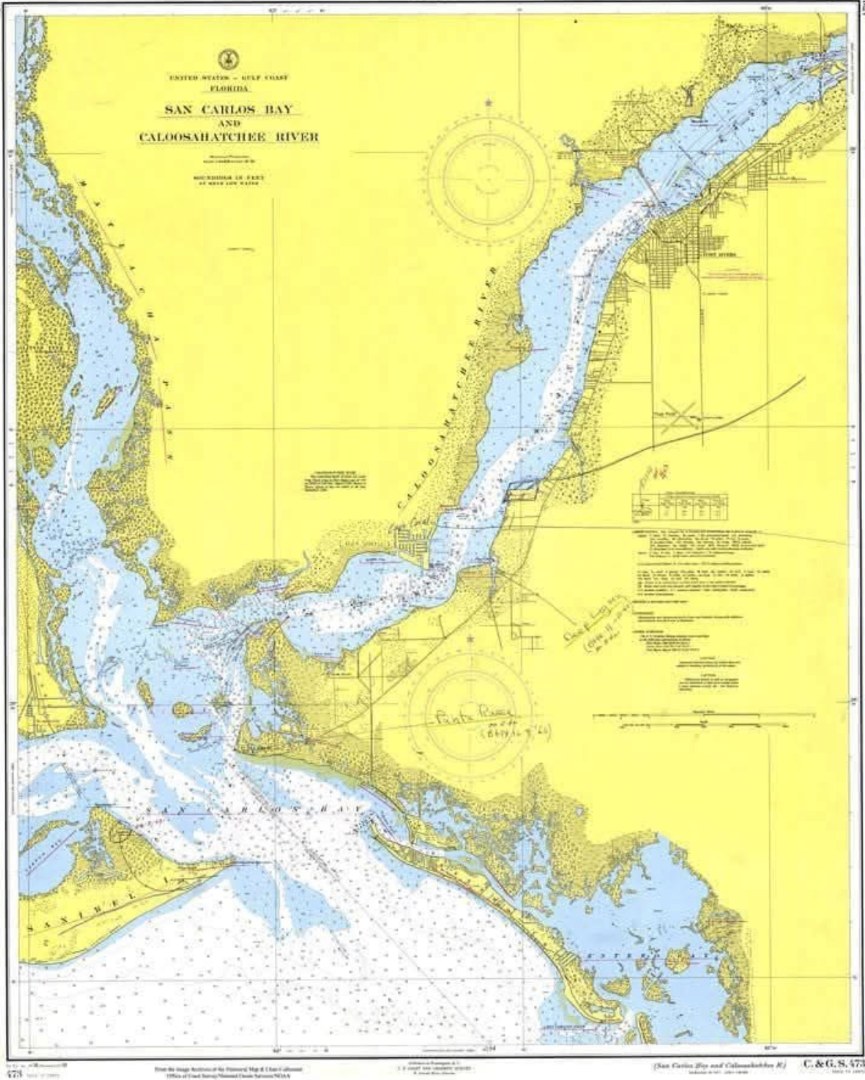
Timeline
- 800 C.E. — The Calusa. By about 800 C.E. the Calusa live around the mouth of the Caloosahatchee and nearby islands — likely the most powerful native group in the Southeast.
- 1513 — The Spanish arrive. The Spanish reach Mound Key; the Calusa resist colonization for generations and are effectively gone by 1763.
- 1839 — Harney's Point. During the Second Seminole War, Chief Chekaika's band attacks Col. William Harney's camp at Redfish Point, in today's Cape Coral.
- 1800s–1950s — Homesteads and cattle. Homesteaders, lumber and cattle companies — including the Matlacha Cattle Company — own the land that becomes Cape Coral.
- 1956 — Redfish Point bought. Brothers Jack and Leonard Rosen buy the 1,724-acre Redfish Point tract for $678,000.
- 1958 — Lots go on sale. A sales office opens in January 1958, selling homesites on installment plans — 10% down and $10 a month.
- 1960s — Dredging the canals. Gulf American dredges miles of canals, three yacht basins and 14 lakes; by 1967 it is Florida's fourth-largest public company.
- 1970 — A city is born. Cape Coral incorporates, ending its company-town era. It's now about 120 square miles with 400+ miles of navigable waterways.
Sources: History of Cape Coral (Cape Coral Museum of History). Checked Oct 9, 2026.
Museums & historic sites
- Cape Coral Museum of History · 544 Cultural Park Blvd, Cape Coral, FL 33990
Run by the Cape Coral Historical Society. Open Wed–Fri 11–4 and Sat 10–2 per its website; confirm before going.
More town history: TampaSt. PetersburgClearwaterBoca GrandeHomesteadFlamingoKey LargoIslamoradaMarathonBig Pine KeyKey West